
North Pennine Summits
Little Fell

Little Fell is the seventh highest hill in the Pennines and one of the most difficult to access due to its location within the Warcop Training Range.
| Height (m) | 748 |
|---|---|
| Height (ft) | 2454 |
| Hill No. | 2713 |
| Grid Ref: | NY781222 |
| Classification: | Nuttall, Hewitt |
| Trig Point: | TP1803 |
| OS Map | OL19 |
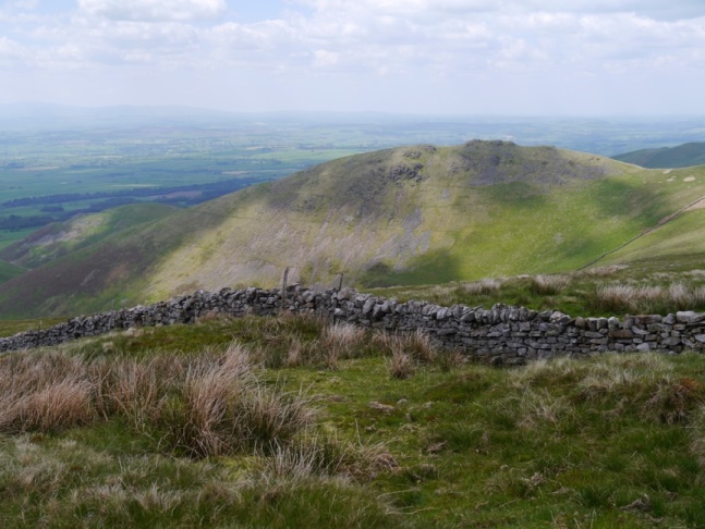
Little Fell Gallery: Click on the photos below to enlarge.


Little Fell Walks:
23rd May 2015 - Distance: 14.2 miles: Murton - Hilton Beck - High Hause - Slape Stones - Roman Fell -
Christy Bank Sike - Little Fell - Arnside Rake - Mickle Fell -
Mickle Fell Trig Point - High Crag - Close House - Fish Lake - Stake Rigg.
View Walk Details>>
3rd May 2014 - Distance: 12.2 miles: Hilton - Swindale Brow - Swindale Edge - Christy Bank - Roman Fell - Tinside Rigg - Little Fell - Scordale Head - Scordale - Hilton.
View Walk Details>>
30th April 2011 - Distance 10.3 miles: County boundary on the B6276 - Hewits - Hanging Seal - King's Pot - Mickle Fell - Arnside Rake - Little Fell - Force Beck - Hanging Seal - Hewits - County boundary on the B6276.
View Walk Details>>
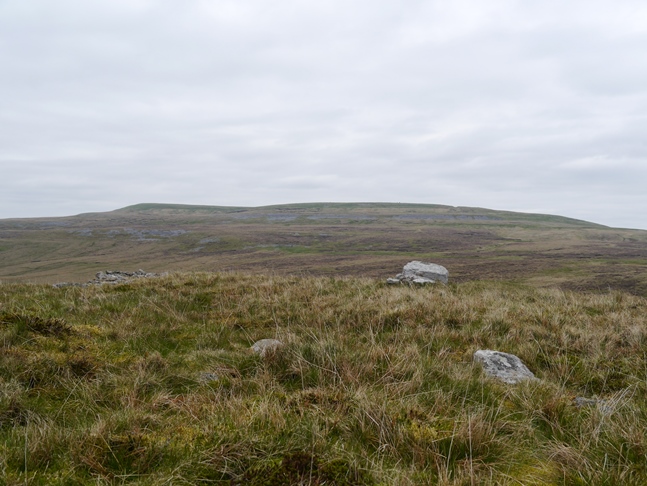
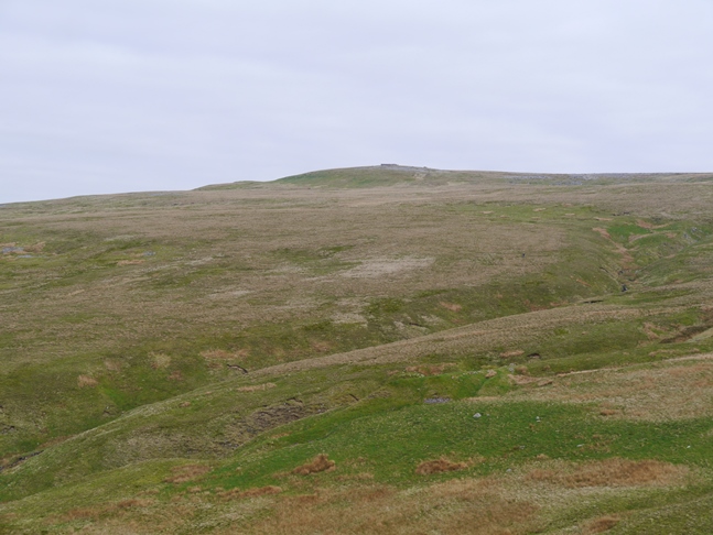
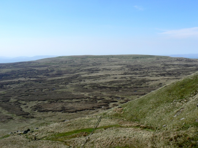
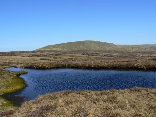
More about Little Fell: Little Fell is surely one of the most ironically named hills in the country. Not only is it the seventh highest hill in the Pennines (and higher than the likes of Ingleborough and Whernside) but it is also a fell of huge girth and incorporates Warcop Fell, Burton Fell and Hilton Fell withins its boundaries. In fact the fell is so big that it is best viewed from a distance. Possibly the best profile of Little Fell is actually in the car whilst descending west from the summit of the A66. At this point, if the cloud is not covering the fell as it often does, then Little Fell appears almost directly ahead.
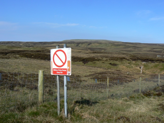
Little Fell is situated entirely within the MOD's Warcop Training Range. This makes access for walkers very difficult especially as none of the public rights of way that enter the range go anywhere near the summit of the fell. This means that even on designated non-firing days when access to the range is allowed access to Little Fell itself technically isn't. Once a year there is the opportunity to participate in an MOD approved guided walk to the summit and this would be the best option for most people wishing to visit the fell.
An alternative to this would be to enter the range on a designated non-firing day and reach the top of the fell by walking south from the bridleway at Scordale Head or to approach from the south-west by leaving the bridleway in Swindale to follow Siss Gill as far as one can to the top. Another alternative, but one which can be quite rough in places, is to make a lengthy detour from Mickle Fell to the north-west. Whichever of the above options is taken one does so entirely at one's own risk. Much of Little Fell lies within the main impact area on the range and unexploded shells need to be carefully avoided. These seem to be mainly found on the south side of Little Fell including up to the vicinity of the trig point. On both my visits to Little Fell I've not yet come across any shells further north than the summit though that is not to say there are not any there.
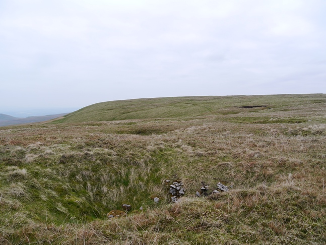
Apart from the rusting detritus from artillery practice the other things that a walker is likely to come across on Little Fell are shake holes and sheepfolds, both of which abound in an unusual quantity. Anyone making even a cursory examination of the map will notice numerous places marked as 'Area of Shake Holes'. On the ground these can often be found in a straight line including at least one group between the trig point and the summit. One particularly prominent sheepfold is Standards Fold which is situated at the 638m spot height a mile or so west of the summit, numerous others can also be found dotted around suggesting that before the MOD acquired the land this was a popular area for sheep farming.
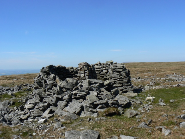
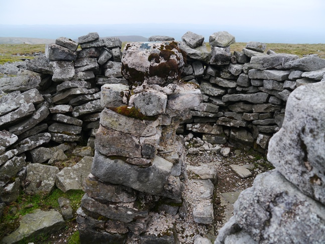
As is fairly common practice in the North Pennines the trig point is not situated at the highest point of the fell. Instead the summit stands three metres higher and is situated just over a third of a mile to the north-west of the trig point. Apparently a small cairn sometimes marks the spot but on both my visits the true summit has been bare except for grass. Undoubtedly the rather sorry looking trig point, recorded on the Ordnance Survey database as Burton Fell, and which is surrounded by a stone shelter is a more satisfying spot than the true summit.
Not surprisingly given the height of the fell and its location the view from the summit, and the trig point for that matter, is extensive. It incorporates not only the neighbouring North Pennine hills but also the northern Dales heights above the Mallerstang valley, the Howgill Fells, the limestone hills of Westmoreland and, across the Eden Valley, a long skyline of Lakeland fells.
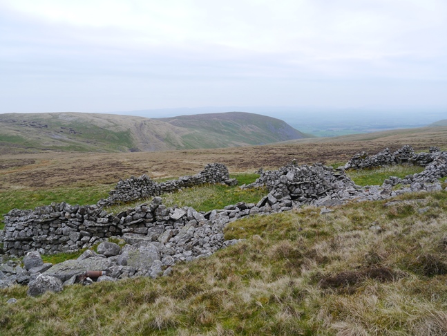
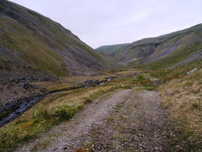
While the access difficulties would probably deter all but the most ardent peak and trig point baggers from visiting Little Fell I would strongly recommend a visit to Scordale, the steep sided valley that forms the western boundary of the fell. Highly reminiscent of the much better known Gunnerside Gill in Swaledale it is one of the hidden gems in the North Pennines and deserves to be much better known. Although access is still restricted to non-firing days the full length of the valley can be walked on a public bridleway with little difficulty. Scordale was once a hive of mining activity and the MOD have erected a number of boards at various points in the valley providing information on the mining history of the valley.

Follow me on ...


