
North Pennine Summits
The Dodd

The Dodd is a hill in the North Pennines situated between the Nent valley and West Allen Dale.
| Height (m) | 614 |
|---|---|
| Height (ft) | 2014 |
| Hill No. | 2766 |
| Grid Ref: | NY791457 |
| Classification: | Nuttall, Hewitt |
| Trig Point: | None |
| OS Map | OL31 |
The Dodd Gallery: Click on the photos below to enlarge.


The Dodd Walks:
17th May 2014 - Distance: 10.4 miles: Coalcleugh - Rushymea - Carrshield Moor - Three Curricks - Knockshield Moor -
Whitleyshield Carrs - Brownley Hill - Taylorburn - Limestone Brae - The Bottoms - Jackson's Fold - The Dodd -
Sunnyside - Coalcleugh.
View Walk Details >>
23rd April 2005 - Distance 4.8 miles: Carrshield - The Dodd - Sunnyside - Shieldridge - Carrshield.
View Walk Details >>
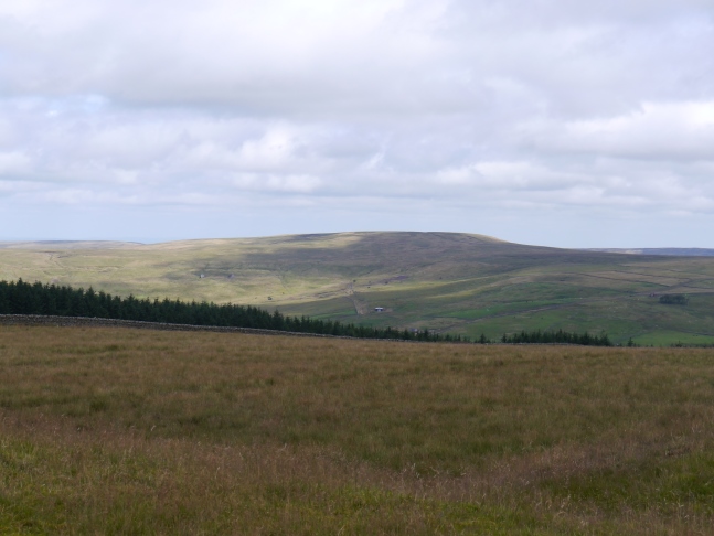
More about The Dodd: Not to be confused with Dodd Fell in the Yorkshire Dales or numerous Dodds in the Lake District, The Dodd is a largely grassy hill of moderate height situated in the North Pennines above West Allen Dale. Qualifying as both a Nuttall and a Hewitt it is, together with Flinty Fell, the joint fourth lowest of the 2,000ft summits in the North Pennines.
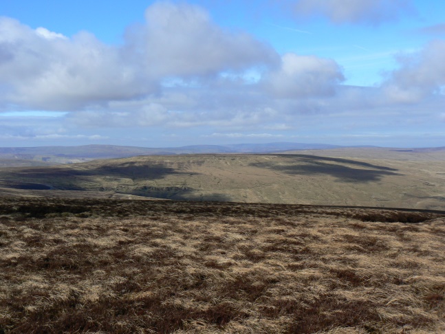
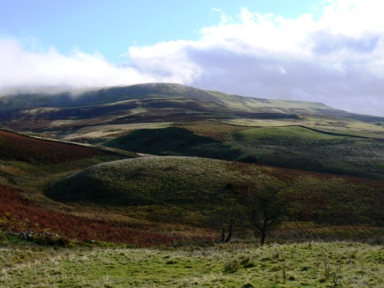
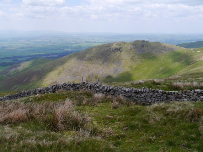
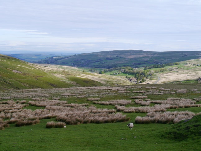
The Dodd is the highest point of Smallburn Moor, part of a broad area of moorland that separates the Nent valley from West Allen Dale. Well Hope, a side valley of West Allen Dale divides this area of moorland in two creating Middle Rigg, the main north ridge of The Dodd. The area was once a centre of lead mining activity and the lower slopes of The Dodd are dotted with the disused remains of mines, quarries and shafts.
Back in 2005 I climbed up to The Dodd from Carrshield on what was my first walk in the North Pennines. To some The Dodd may seem a slightly eccentric choice for a first foray into the North Pennine hills but at a time when the CRoW Act was just coming into force it looked to be one of the few 2,000fters in the North Pennines that was fairly accesible via a public right of way.
Indeed The Dodd is without doubt one of the easiest 2,000fters to reach in the North Pennines. It can be climbed from Nenthead, Carrshield or even quicker from the layby near Coalcleugh at the head of West Allen Dale. A super grassy bridleway that runs around Dodd's End gets fairly close to the top although to reach the summit itself does require a short but pathless detour across the heather and over a few peat hags.
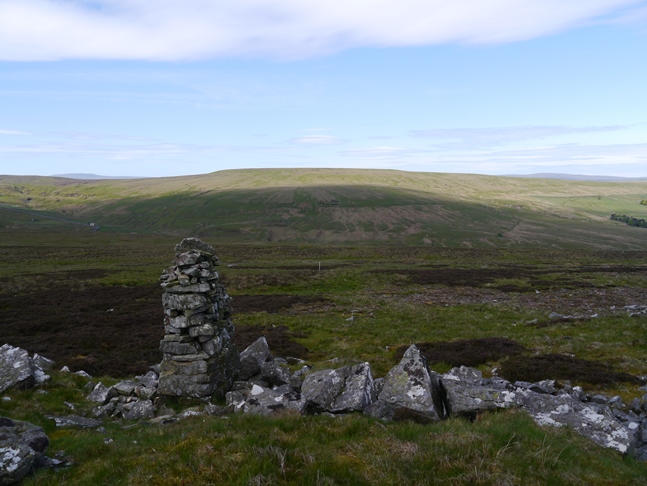
A modest cairn on the flat top may be taken for the summit though apparently the highest point is 120m to the south-west and is unmarked. In truth though there cannot be much in it and the top is so flat that the cairn makes a more satisfying spot. The summit area is quite broad and so there is no depth to the view which is not one of the finest in the North Pennines. To the south Killhope Law dominates whilst to the west the Cross Fell group can be seen over Flinty Fell.
While The Dodd may not excel as a viewpoint its chief merit is perhaps its long north ridge, Middle Rigg. Almost entirely grassy the bridleway descending gently to the north provides the opportunity for a fine stride in either ascent or descent with sweeping views to the north that, on a fine day, takes in almost the full length of the Cheviot hills. Middle Rigg is dotted with cairns but perhaps its most notable feature is Jackson's Fold, a particularly fine rectangular sheepfold.
Both times I've visited The Dodd I've approached the hill from West Allen Dale. I think on any future visits I'd like to try a route from Nenthead which would take in some of the mining remains both above the Nent valley as well as at the head of Well Hope.
Follow me on ...


